Sign In | Join Free | My himfr.com
Home > Handheld GPS Survey Equipment >

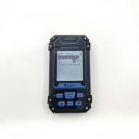
Handheld GPS Survey Equipment For Agriculture Geography Land Surveying

    Buy cheap Handheld GPS Survey Equipment For Agriculture Geography Land Surveying from wholesalers
     
    Buy cheap Handheld GPS Survey Equipment For Agriculture Geography Land Surveying from wholesalers
    • Buy cheap Handheld GPS Survey Equipment For Agriculture Geography Land Surveying from wholesalers
    • Buy cheap Handheld GPS Survey Equipment For Agriculture Geography Land Surveying from wholesalers
    • Buy cheap Handheld GPS Survey Equipment For Agriculture Geography Land Surveying from wholesalers
    • Buy cheap Handheld GPS Survey Equipment For Agriculture Geography Land Surveying from wholesalers
    • Buy cheap Handheld GPS Survey Equipment For Agriculture Geography Land Surveying from wholesalers
    • Buy cheap Handheld GPS Survey Equipment For Agriculture Geography Land Surveying from wholesalers

    Handheld GPS Survey Equipment For Agriculture Geography Land Surveying

    Ask Lasest Price
    Brand Name : Wanggan
    Model Number : S8
    Certification : ISO 9001
    Price : $70-$80
    Payment Terms : T/T, Western Union, MoneyGram
    Supply Ability : 10000 sets/month
    Delivery Time : 8 working days
    • Product Details
    • Company Profile

    Handheld GPS Survey Equipment For Agriculture Geography Land Surveying

    HandHeld GPS Survey Equipment Agriculture Geogragh Land Surveying Equipment


    Product Parameters of Handheld GPS Survey Equipment:


    Receiver AntennaTaimeng Passive Large - Size flat plate antenna
    Positional TimeHot Start Time: one Second; Cold Start Time: 30 Seconds
    Positional AccuracyWithin 2 Meters (HDOP Value Less Than 1.0)
    Area AccuracyMeasurement error is not more than 0.03 Mu (1-3 Mu), 2% (More Than 3 Mu)
    Distance AccuracyWithin one Meter (When HDOP value is less than 1.0 measure the length of 100 meters)
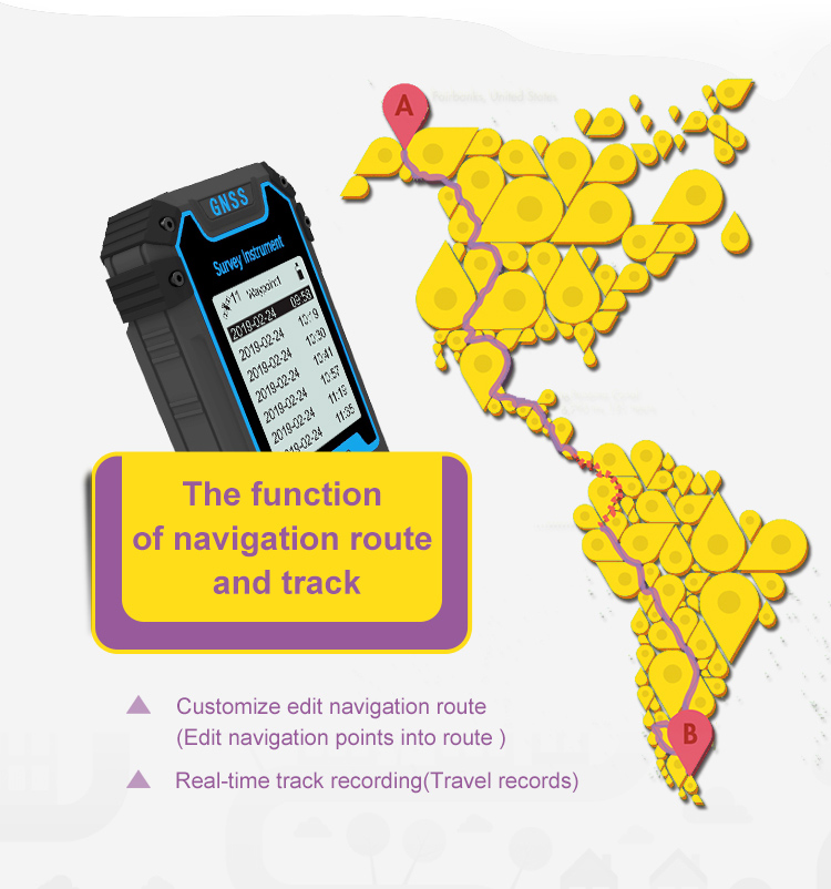
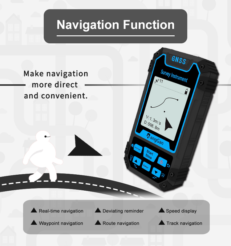
    Functional CharacteristicsCoordinate Measurement, Route Edit, Track Record, Navigation Function,Altitude Measurement,Area Measurement, Distance Measurement,Lofting Function
    Data StatisticsArea Statistics, Distance Statistics
    Area Record99 piecesWaypoint Record2000pieces
    Distance Record99 piecesTrack Record100pieces
    Route RecordMaximum Number Of Editions 200, Single Route Up To 400 Points
    Track DisplayThe trajectory will be displayed in real time during the measurement process,and the past measurement figures can also be viewed in the statistical records.
    Barometric AltimetryAbout one meter (Barometer measurement, absolute altitude needs to be calibrated) About 10 Meters (GPS Measurement, HDOP value below 1.0)
    HDOP SettingsUser-Defined HDOP Setting
    Display Screen2.4 Inch, outdoor high- definition black-and-white screen
    Working Temperature-20"C ~65"C
    Storage Temperature-40"C~75"C
    Device Size117mm*61mm*20mm
    Device Weight120 g (Battery Free)
    Data InterfaceUSB Interface, Which Can Be Charged Through This Interface
    Data Export
    Standard ConfigurationHost*1,Lithium Battery* 1, Charger*1,Data Cable*1, Lanyard*1, Manual*1,Warranty Card*1, Package*1

    The Function of Lofting:


    Four Patterns:


    1. (Select Points) Select existing navigation points as lofting points.


    2. (Equal Division) Setting the number of lofting points,generate equal distance lofting points automatically.


    3.(Equal Distance) Setting the distance,generate lofting points automatically.


    4. (User-defined Distance) Setting the distance of the single segment,generate lofting points.


    Quality Handheld GPS Survey Equipment For Agriculture Geography Land Surveying for sale
    Inquiry Cart 0
    Send your message to this supplier
     
    *From:
    *To: Chengdu Wanggan Technology Co., Ltd.
    *Subject:
    *Message:
    Characters Remaining: (0/3000)