Multi-function Locator Altitude Measuring Tool Handheld Land Meter
for Agriculture
The Entry Function of Waypoint (Recording a waypoint with known latitude and
longitude) Of GNSS GPS Survey Equipment:
1. In the home screen of the device, press the [Setting] button to
enter the setting interface.
2. Please press the [▲][▼] button to move to "Waypoint",and press
[Enter] to enter.
3. Please select "Establish" and enter. After entering the
interface , according to the specific latitude and longitude
information of the known waypoint, press [Enter] to switch the item
to be changed, and press the [▲] [▼] button to change the specific
value.
4. After the change is completed, press the [Enter] button
continuously. When the input box moves out of the last option, the
entered information will be saved.
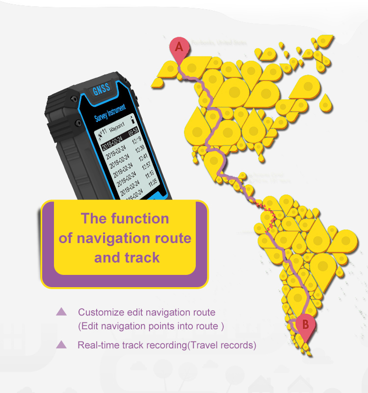
The Navigation And Viewing Function of Waypoint
1. In the home screen of the device, press the [Setting] button to
enter the setting interface.
2. Please press the [▲][▼] button to move to "Waypoint ",and press
the [Enter] button to enter. Next select "Check Waypoint " and
enter.
3. After entering , please press the [▲][▼] button to choose the
waypoint that you want to navigate, and then press the [Enter]
button to view the specific information of the selected waypoint.
4. After confirming the navigation information, press the [Start/
Stop] button to start navigate,and you can delete the waypoint
information by double-pressing the [Enter] button.
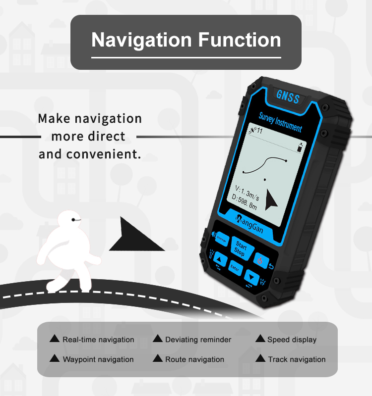
5. During navigation, the pointer points to the navigation point.
When the navigation point is reached, the bottom of the screen will
show the destination. And press the "Start" button to exit
navigation.
setting interface
Waypoint viewing interface
Pointer: The direction of the pointer is the direction of the
navigation target point.
Heading angle: The angle between the direction of travel and the
north direction
V:Displacement speed of device.
D:Distance from target point